MetrObliqueDFW
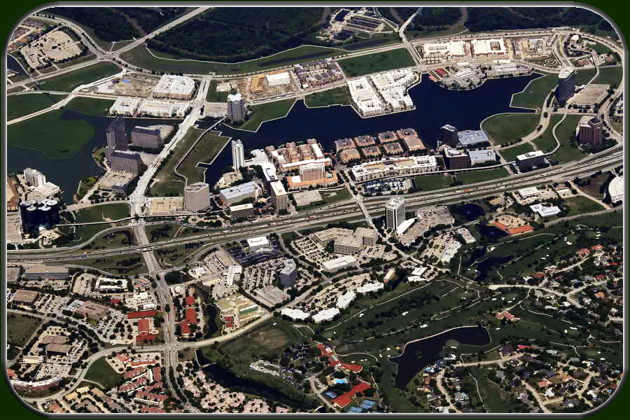
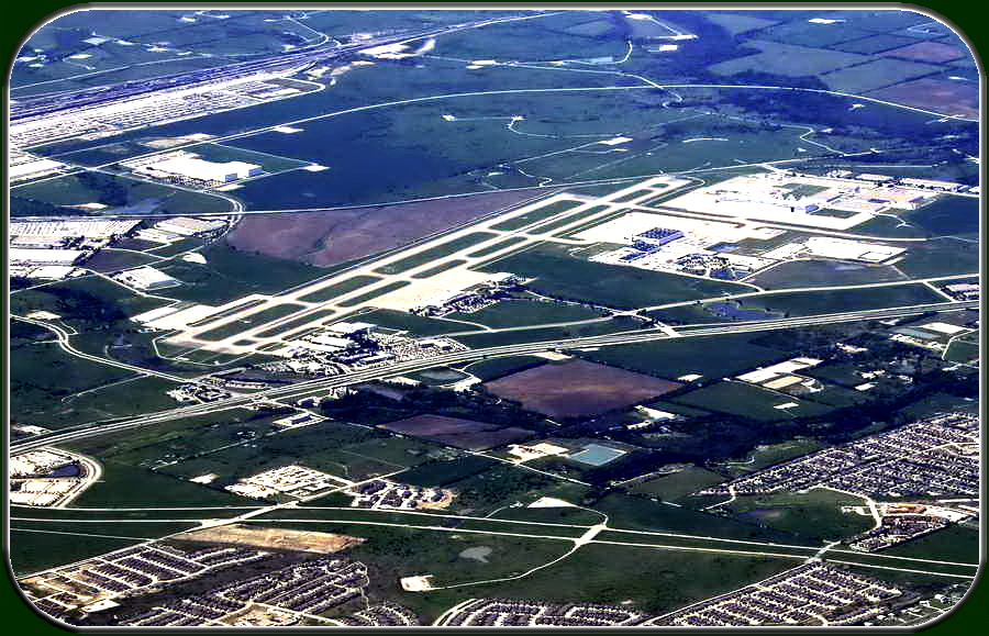
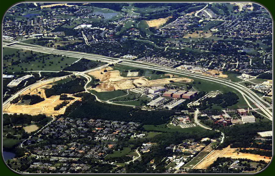
MetrObliqueDFW is a collection of over 30,000 oblique aerial photos,
covering most of the Metroplex trade area.
The dataset is current as of April 2015.
Pictures can be emailed, printed, or posted to websites, including LoopNet.com.
A partial listing of the areas covered is as follows:
Arlington, Fort Worth CBD, Dallas CBD, Design District, Dallas Uptown, Rockwall, Irving,
Las Colinas, Plano, Frisco, Denton, McKinney, Waxahachie, Hillsboro, Lewisville, Southlake, Coppell, Farmers Branch, Mansfield, Midlothian, DeSoto, Cleburne, Ennis, Duncanville, Balch Springs, Hutchins, Cedar Hill, Grapevine, Euless, Corinth, Forney, Terrell, and Red Oak.
The imagery ships on a portable flash drive,
and is organized into folders for the various cities.
Also included on the flash drive is a simple photo editor which can be used to label your pictures, or to outline the subject properties you are marketing.
The pictures come in eight-megapixel JPEG format.
The MetrObliqueDFW dataset is being offered at $850 on portable flash drive.
To order, please email us at CameraInTheSky@gmail.com.
Scroll down to view a few sample photos on this page.
To view even more samples, organized by city, click on the button above.


